")
")
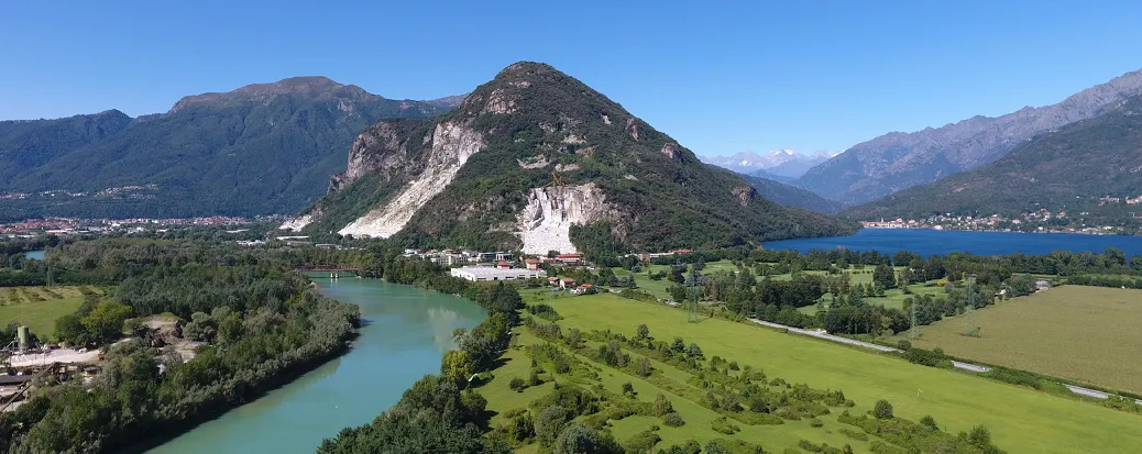
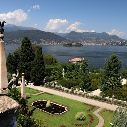
Montorfano
Cycle to discover Montorfano and its small village!
Montorfano is considered the watershed between Verbano, Cusio and the Ossola Valley. Because of its strategic location this is the ideal viewpoint to take panoramic pictures.
Specifiche tecniche
Difficoltà: Medio
Lunghezza: 36,6 km
Dislivello: 751 m
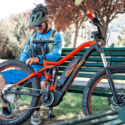
Attrezzatura: MTB, E-MTB
The route starts from Stresa heading north towards Feriolo for about 9 km along the lake front. At the small roundabout continue straight towards the Riserva Regionale di Fondotoce. After the bridge, turn to the road going to the campsite Isolino. After the fuel station, turn right and continue for about 4 km. Once you are back on the road continue for 100 metres and turn right where the road starts climbing up towards the Linea Cadorna (a network of military fortifications, remnants of World War I, which was supposed to defend the territory from a potential Austrian-German attack from Switzerland).
After going uphill for appoximately 200 meters, take the off-road trail that continues along a series of military artefacts of remarkable beauty.
From here go back down the road you previoulsy climbed until you get to the crossing, turn right and continue on the route for about 3 km. On the way back cycle along the railway tracks until you reach the crossroad, turn left and pass the underpass and railway, continue along the cycling path until Fondotoce. Once through the underpass, take the right, this takes you on the road where you first started.